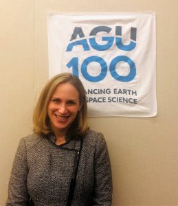
"With satellite data, you can help people understand how the disaster happen in their backyard." an interview with Dalia Kirschbaum
Recorded
February 21, 2019
Archived
February 21, 2019
19:35 minutes
0:00 / 0:00
Id:
APP615536
Description
In research, Dalia Kirschbaum literally seeks landslide victories, though in her case this entails finding disasters. The research scientist at NASA’s Goddard Space Flight Center uses satellite monitoring to get clear predictions about actual landslides through satellite information.“My work involves taking lots of different types of satellite data – precipitation, topography, land cover, etc. – and trying to model where and when we might expect rainfall-triggered landslides around the world,” she says.
While much of this involves satellite monitoring, she also works with a citizen science project in which people report local landslides to amplify the data they gather from space. While this can provide some vital information to help emergency responders during disasters, Kirschbaum says that she hopes that future advances in the field will help researchers predict disasters more finely in advance. (Recorded 12 December 2018)
Participants
-
Dalia Kirschbaum
-
Josh Learn
-
AGU Narratives